Blogs & Research
Articles and research notes on surveying, GIS and coordinate systems, written for surveyors, GIS professionals and engineers.

UAE · Surveying & GIS
The Current Surveying System in the UAE: From GNSS and CORS to Digital GIS
How Abu Dhabi and Dubai combine GNSS reference networks, cadastral survey control, CAD and GIS into a connected digital geospatial workflow — and where it's headed next with 3D and digital twins.
Read article →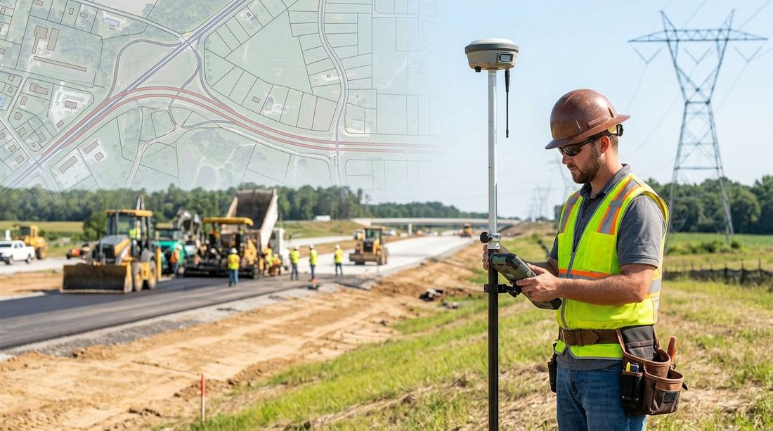
USA · Surveying & GIS
Survey Systems Used in the USA: GNSS, CORS, State Plane Coordinates, GIS and Infrastructure Surveying
A guide to the National Spatial Reference System, NOAA CORS, State Plane vs. UTM, common survey types, field challenges and how GIS underpins American infrastructure management.
Read article →